<& /components/PageHeader.mhtml, title=>"Antietam Gallery" &>
<& /components/FlickrGallery.mhtml &>
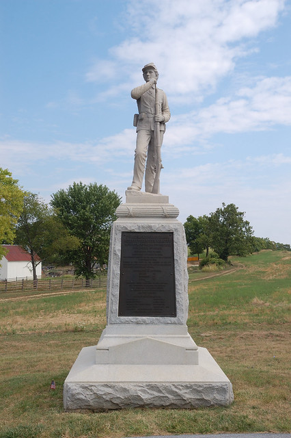
The 7th Pennsylvania Monument on Mansfield Lane (North end of the battlefield,
near the North & East woods).
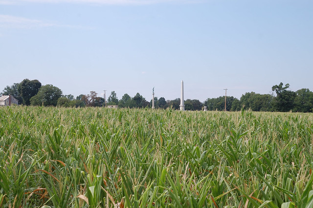
Looking south across the Cornfield.
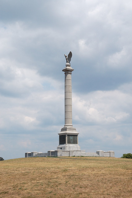
New York State Monument (near the Visitors Center).
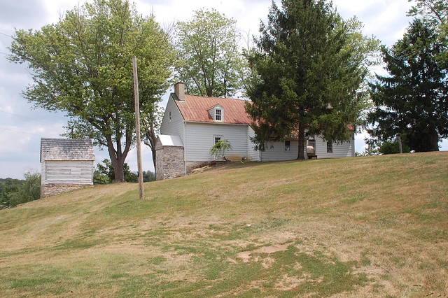
The Roulette Farm (on the Bloody Lane Trail).
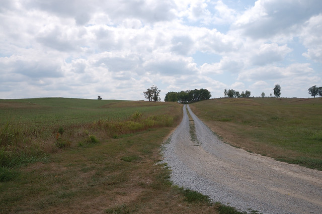
Looking south on the Roulette Lane towards Bloody Lane
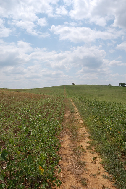
Walking south through the field following the course of the Union attack on the
Bloody Lane (on the Bloody Lane Trail).
The trail at this point follows the path of the left flank of French's division
(and later the right flank of Richardson's division) up the hill towards the
road.
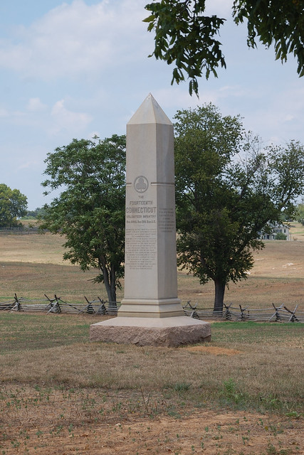
14th Connecticut Monument (260 feet north of the Bloody Lane)
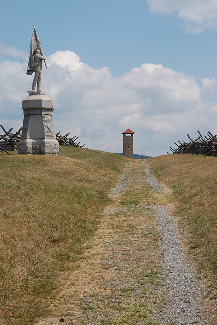
View east on Bloody Lane towards observation tower. Monument to 132nd
Pennsylvania on left side.
<& /components/TargetedHeader.mhtml, level=>2,
tag=>'Comments',
text=>'Comment on this Page' &>
<& /components/Comments.mhtml, id=>"antietam-gallery" &>
<& /components/License.mhtml, license=>'CC-NC-SA',
author=>'Richard Welty',
owner=>'Krusty Motorsports Limited',
date=>'2012',
&>
<& /components/PageFooter.mhtml &>

